python
use python show a world map
Install dependency
pip install geopandas matplotlibMain python code map.py
# map.py
import geopandas as gpd
import matplotlib.pyplot as plt
# Load the world map dataset
world = gpd.read_file("./ne_110m_admin_0_countries/ne_110m_admin_0_countries.shp")
# Plot the world map
world.plot()
# Add title to the map
plt.title('World Map')
# Show the plot
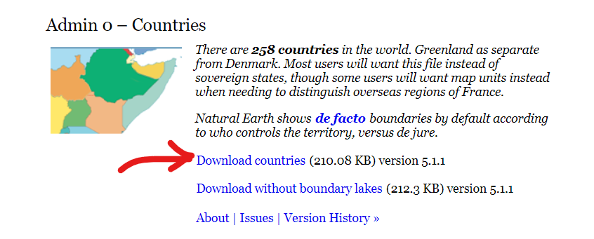
plt.show()Download the map data file
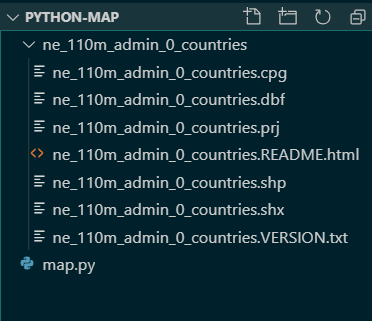
Extract the files and put them next to map.py
Now your file structure looks like this
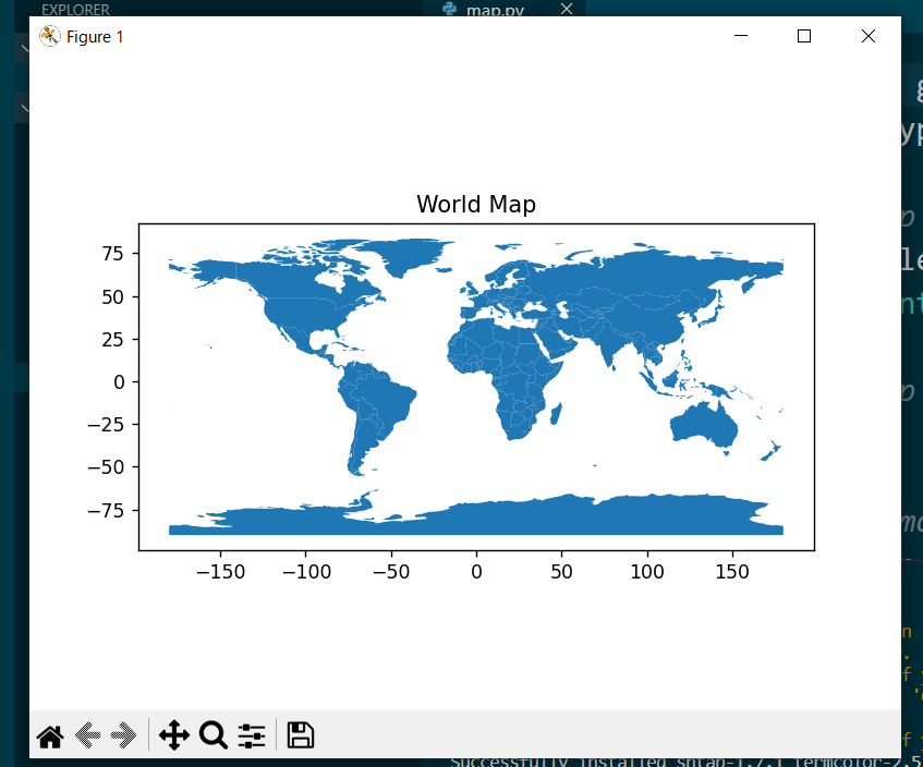
In terminal, execute it with python .\map.py
Result:
Last updated on